Hingham Primary School
Nurture - Learn - Achieve
Hingham Primary School
Hingham Primary School, Hardingham Street, Hingham, Norfolk, NR9 4JB
Telephone:
Email:
GEOGRAPHY: Layer Shading
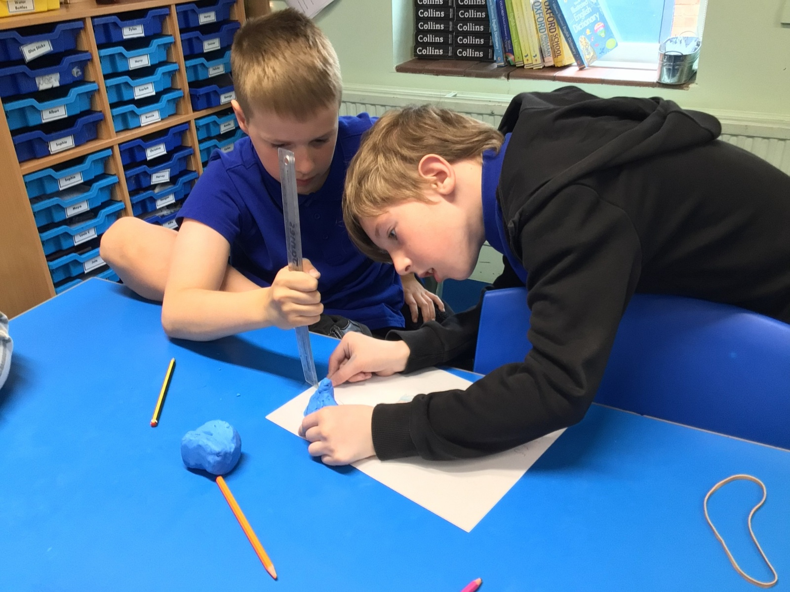
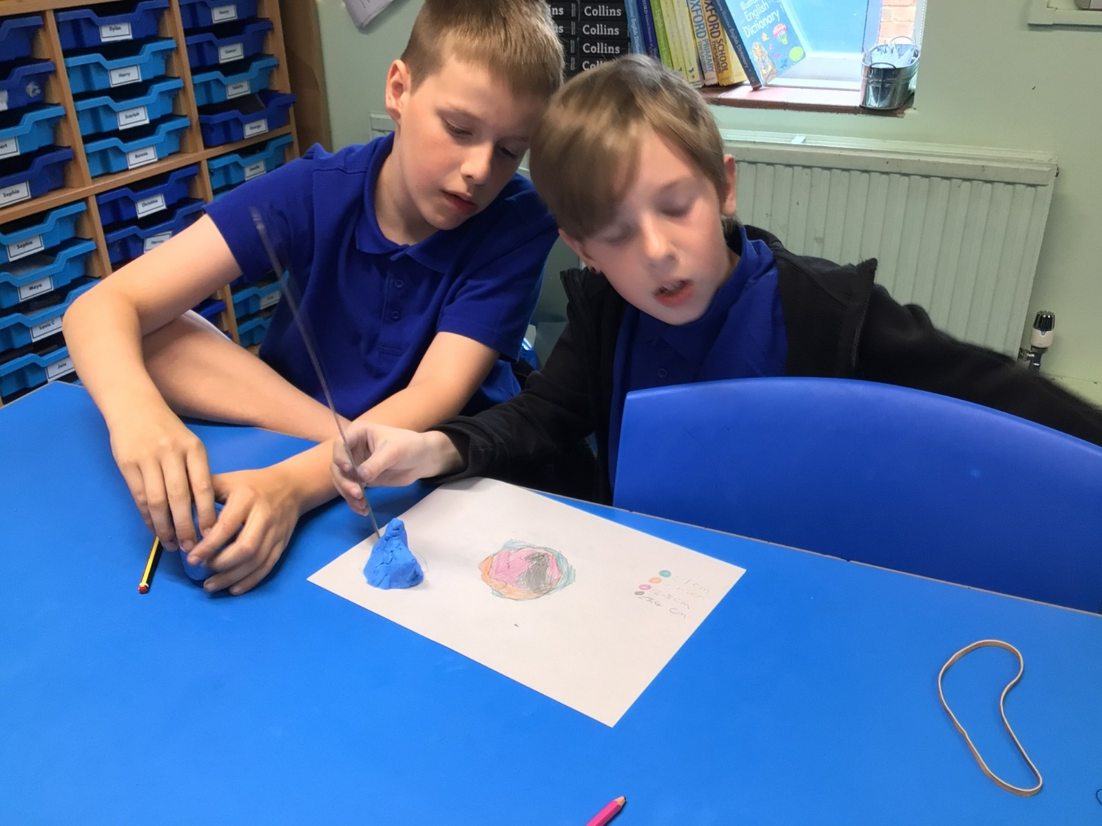
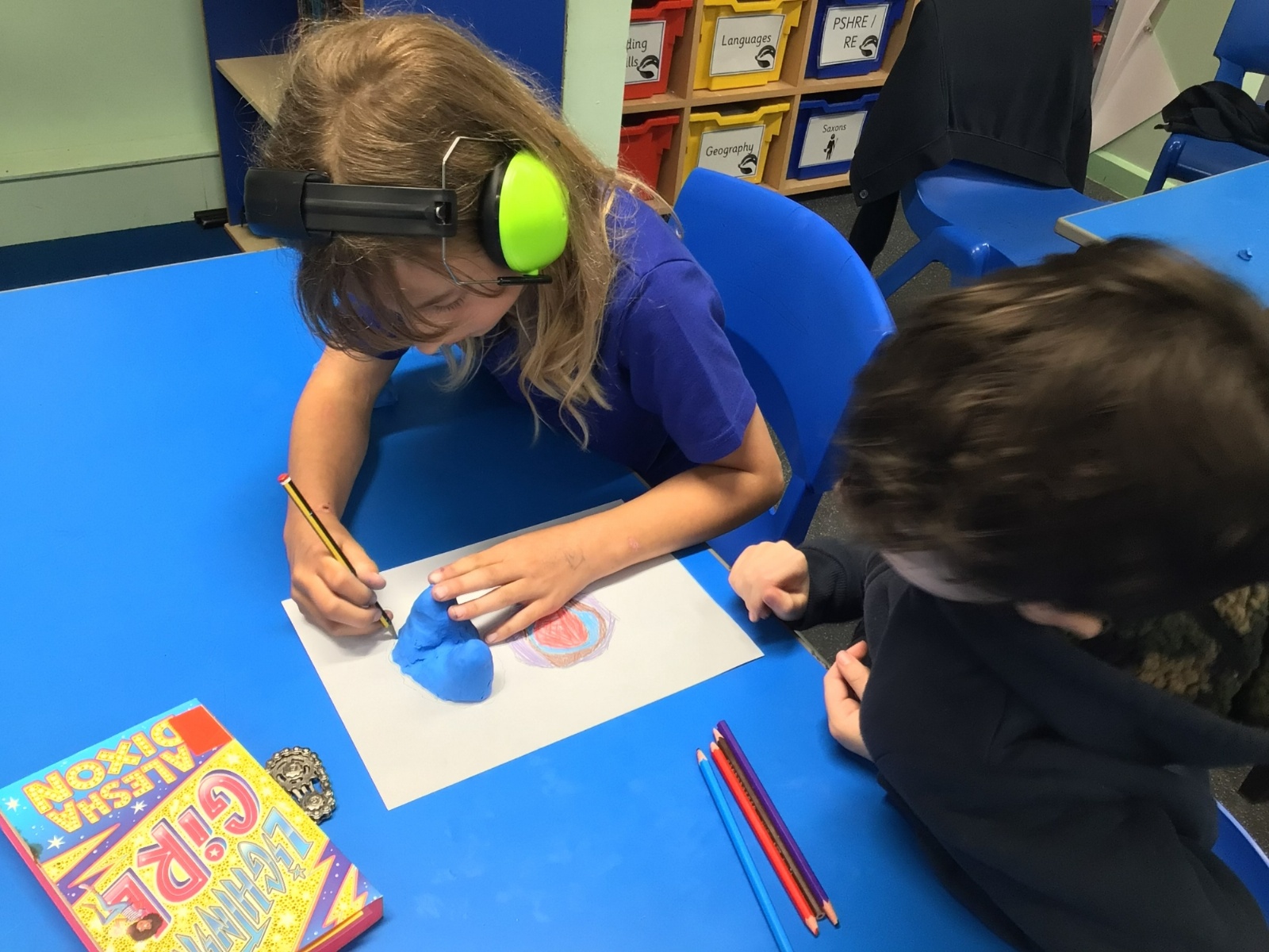
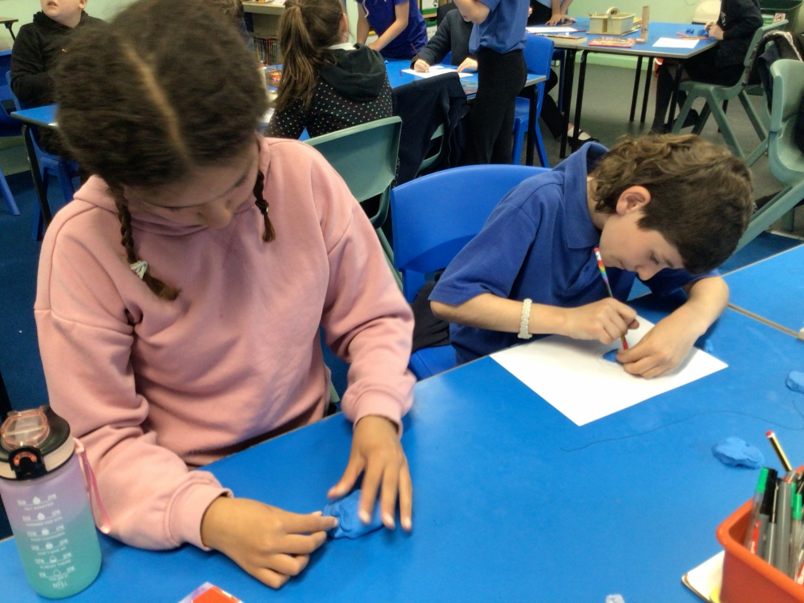
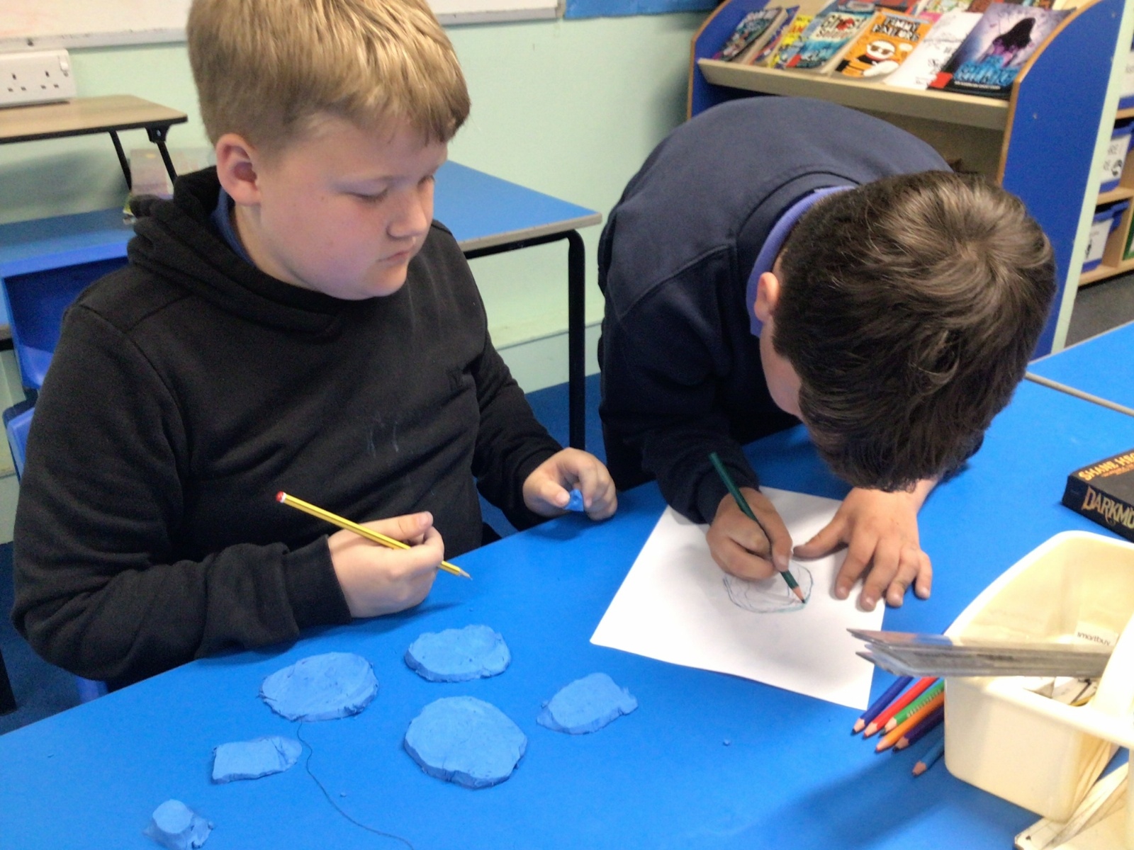
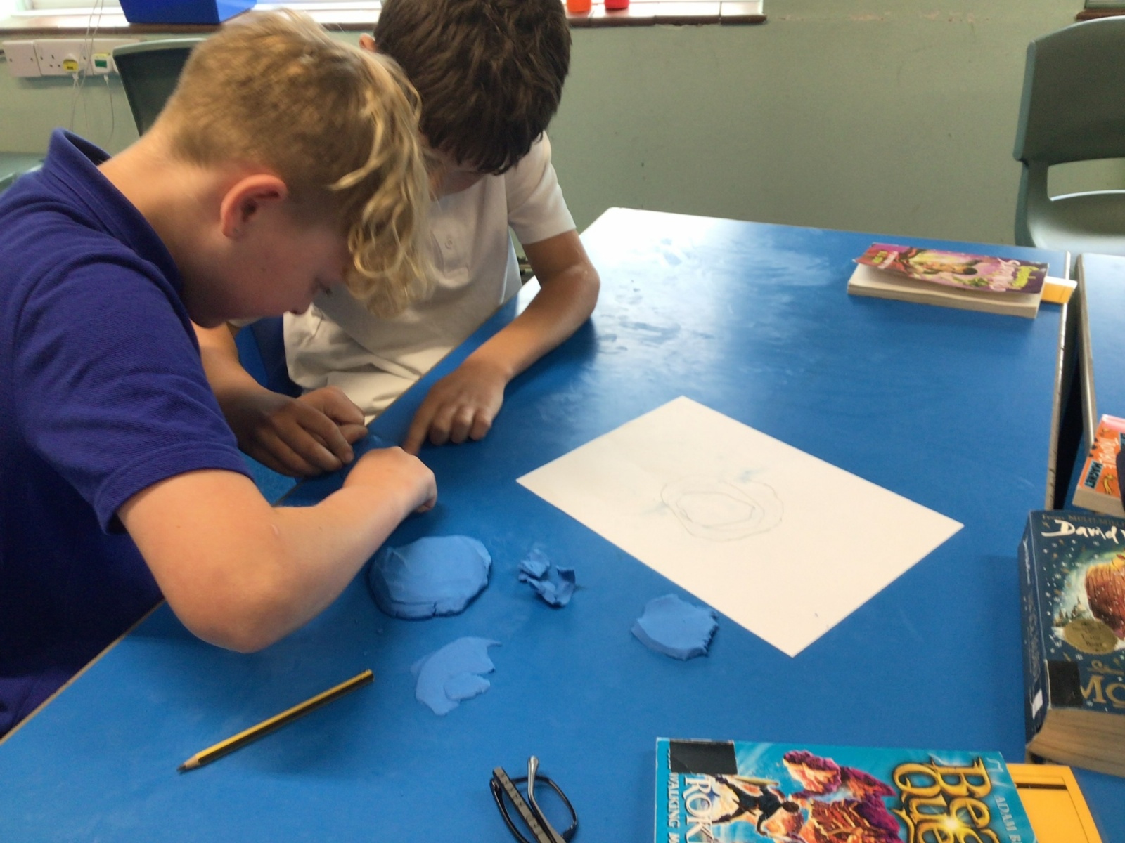
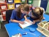
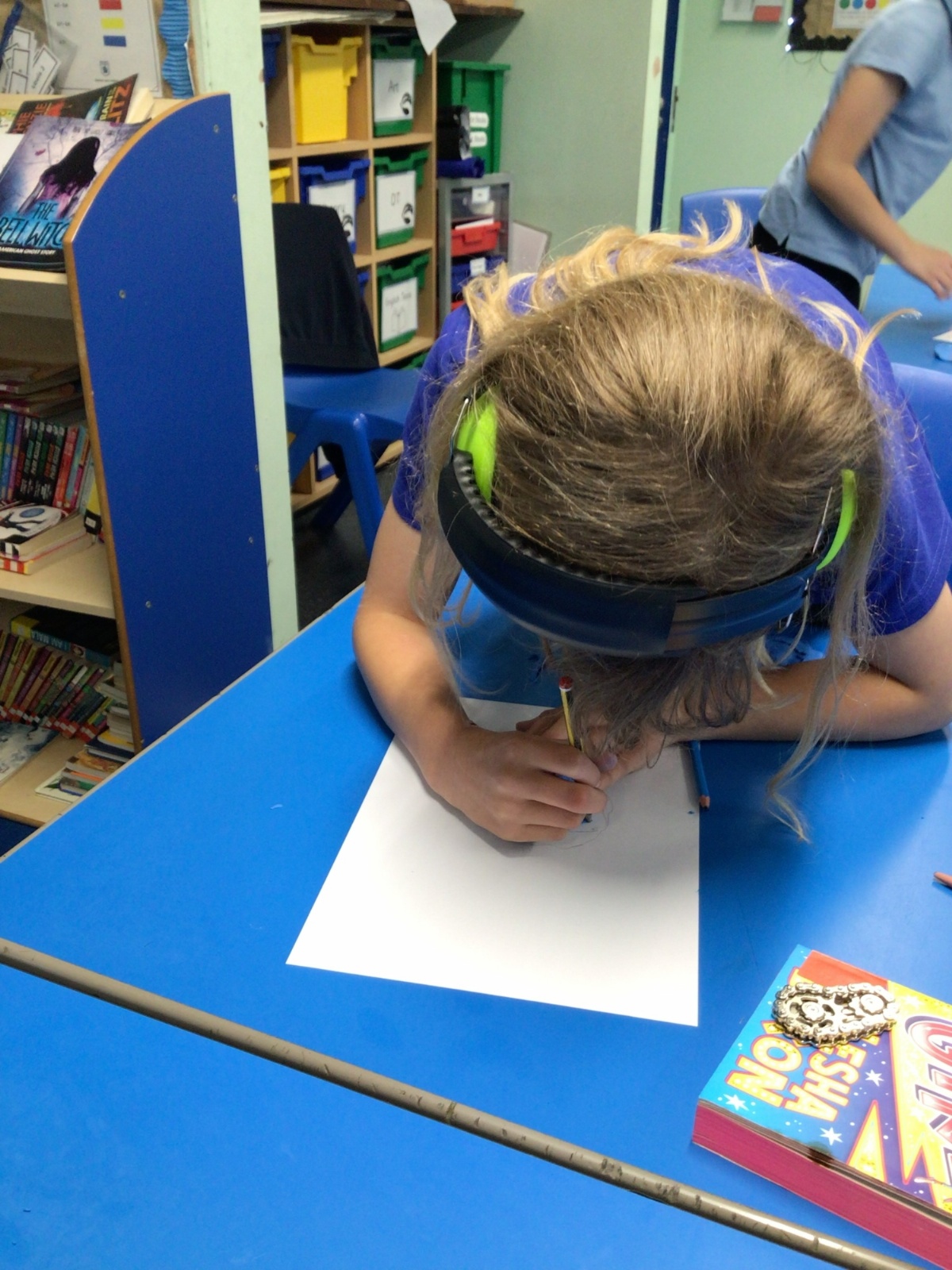
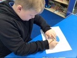
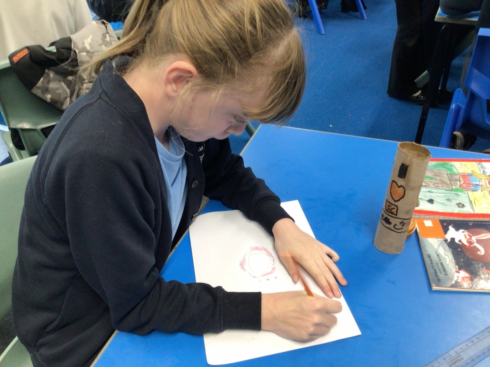
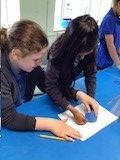
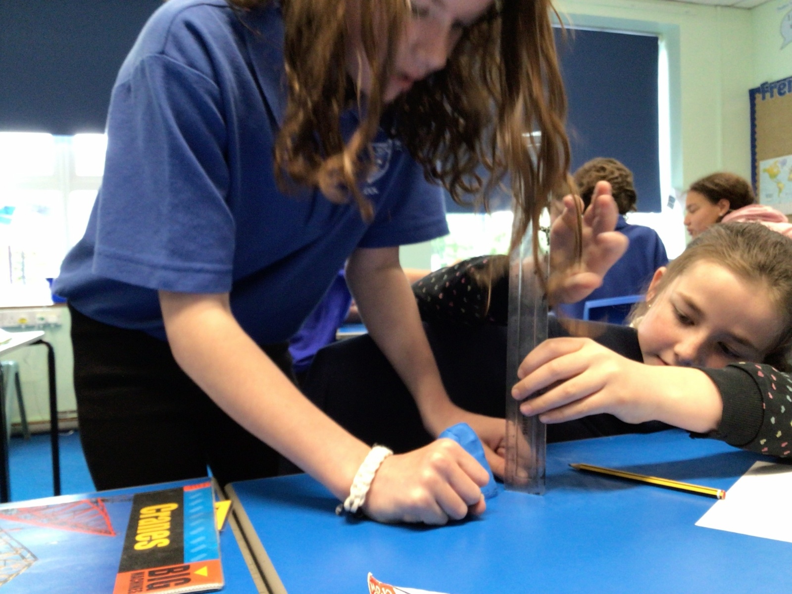
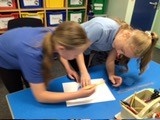
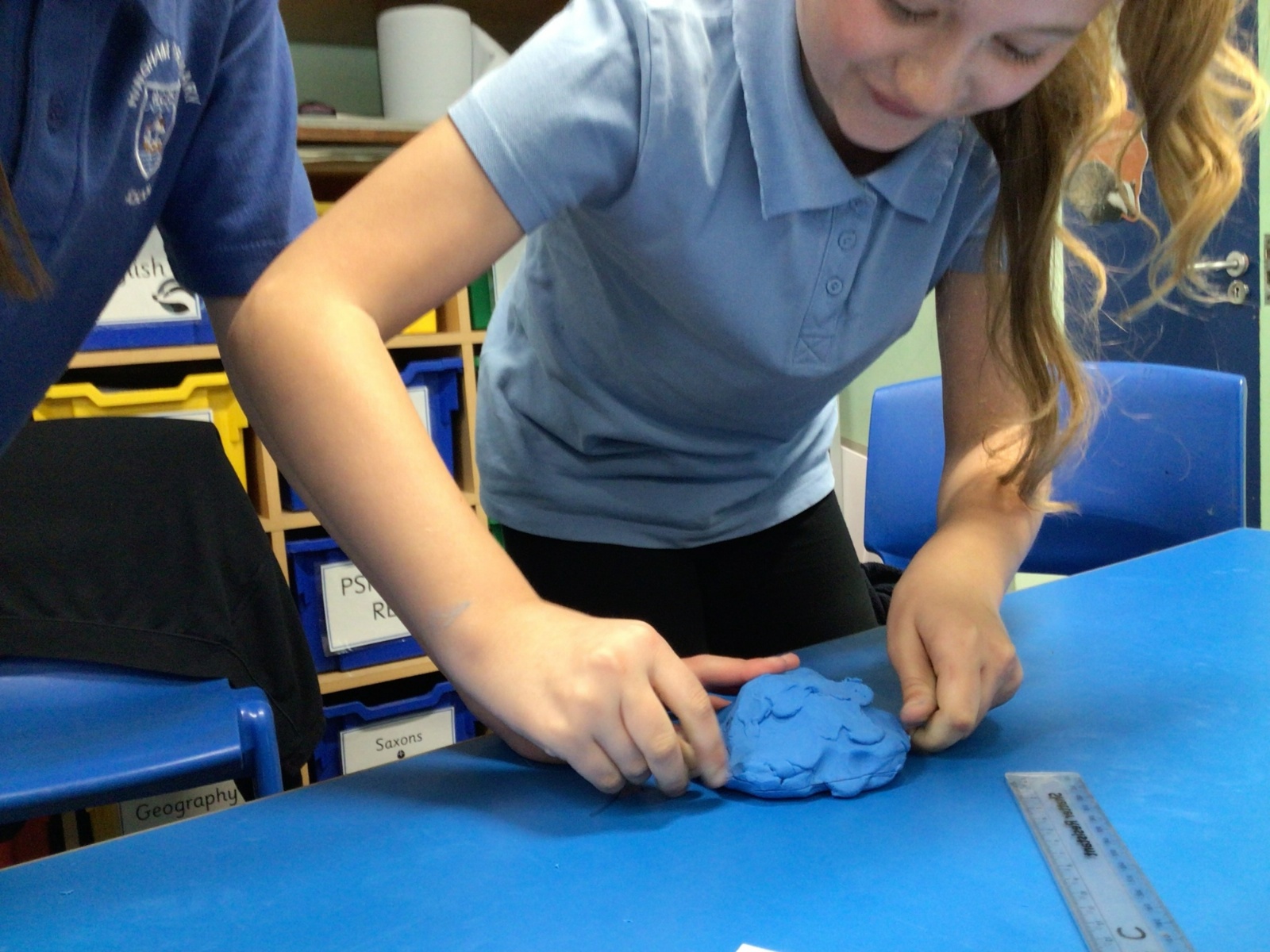
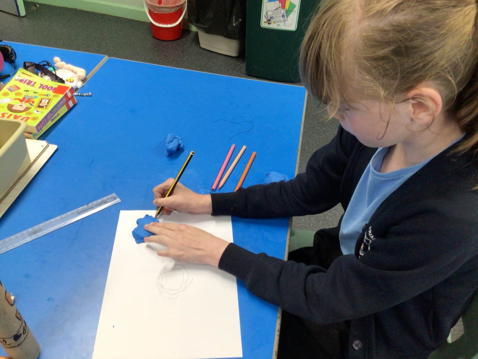
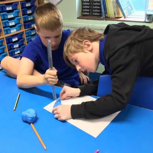
We have been looking at how 3D landforms can be represented on maps. We looked at topographical maps and how layer shading can be used to show the height of land. We made our own 'mini-mountains' out of plasticine and then cut them into slices to create layer shaded contour maps of what we had made.
 IMG00201.jpeg7676
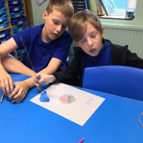 IMG00191.jpeg7675
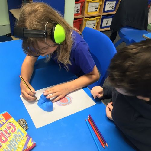 IMG00181.jpeg7674
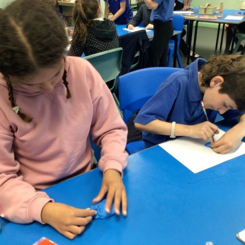 IMG00171.jpeg7673
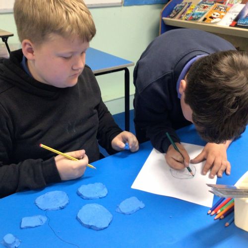 IMG00161.jpeg7672
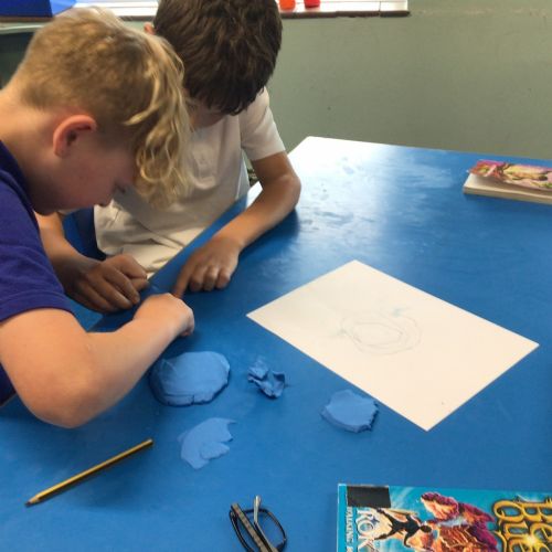 IMG00151.jpeg7671
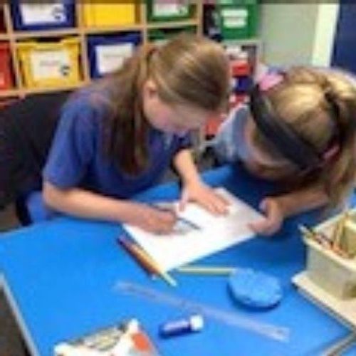 IMG00141.jpeg7670
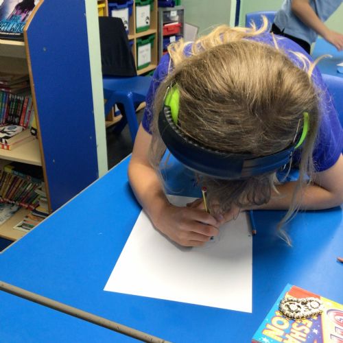 IMG00131.jpeg7669
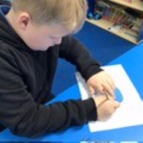 IMG00121.jpeg7668
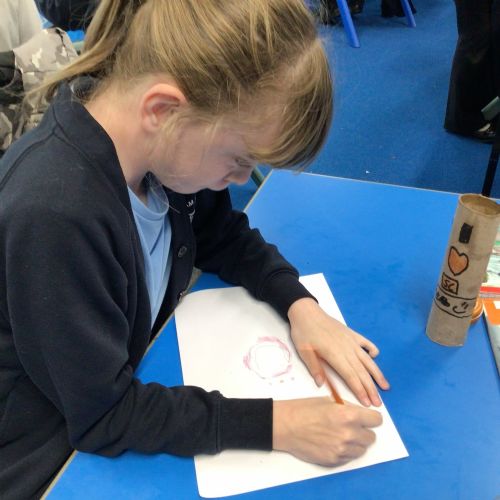 IMG00111.jpeg7667
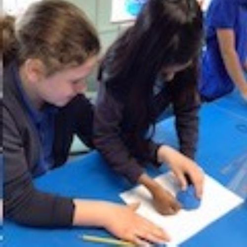 IMG00101.jpeg7666
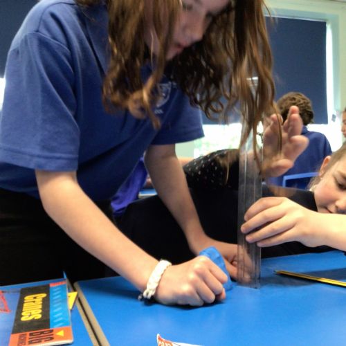 IMG00071.jpeg7665
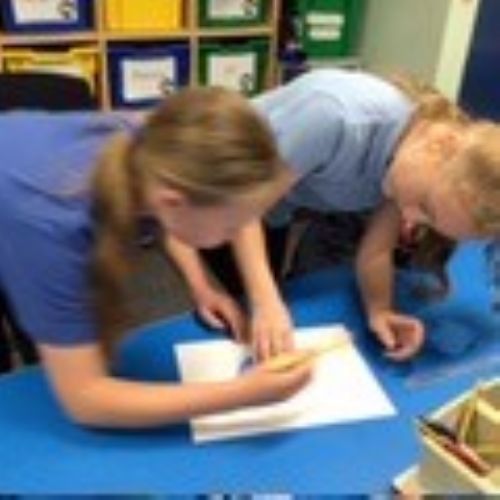 IMG00061.jpeg7664
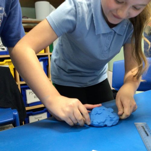 IMG00051.jpeg7663
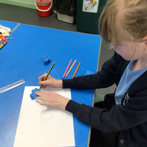 IMG00041.jpeg7662