Hingham Primary School
Nurture - Learn - Achieve
Hingham Primary School
Hingham Primary School, Hardingham Street, Hingham, Norfolk, NR9 4JB
Telephone:
Email:
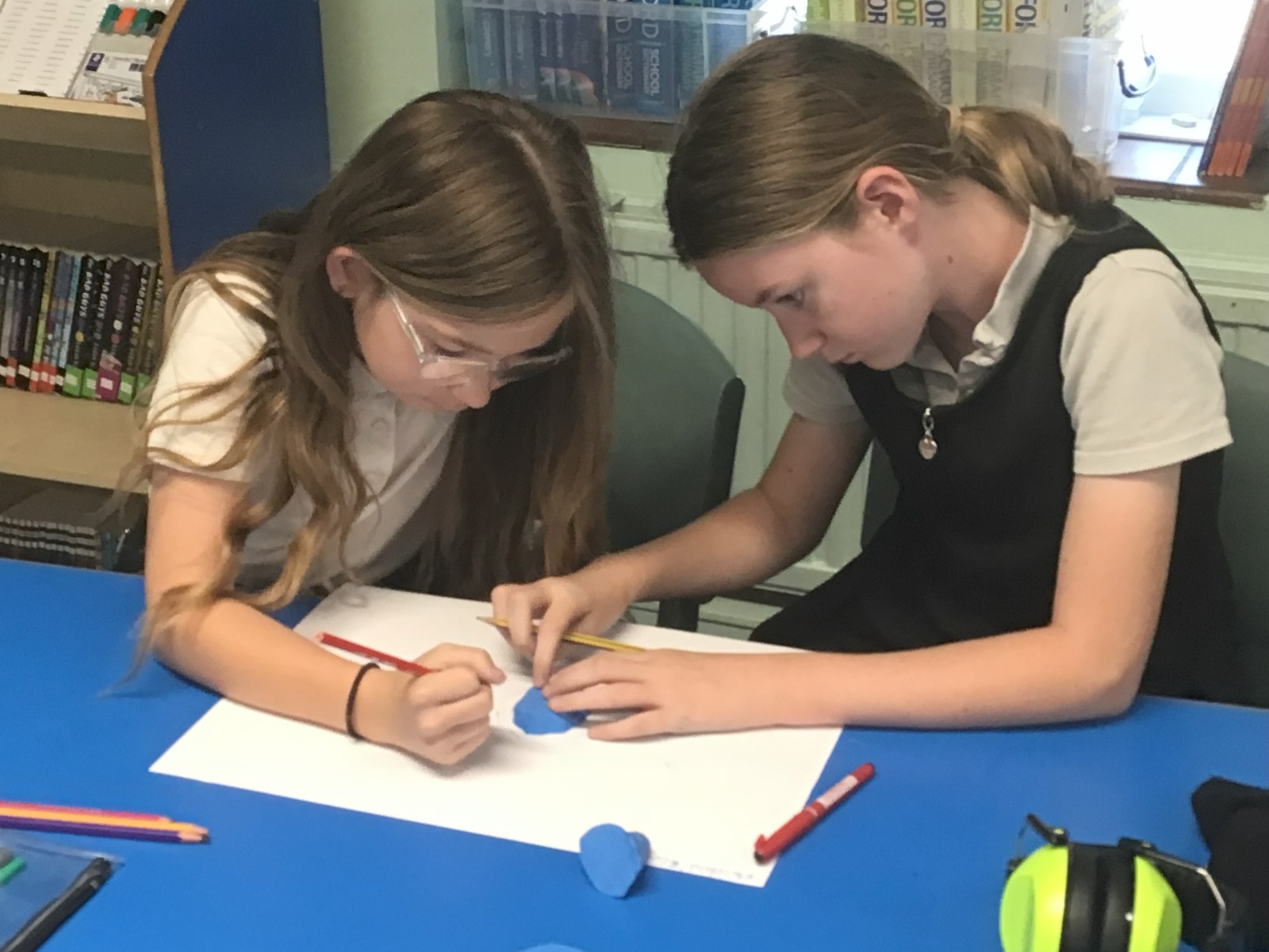
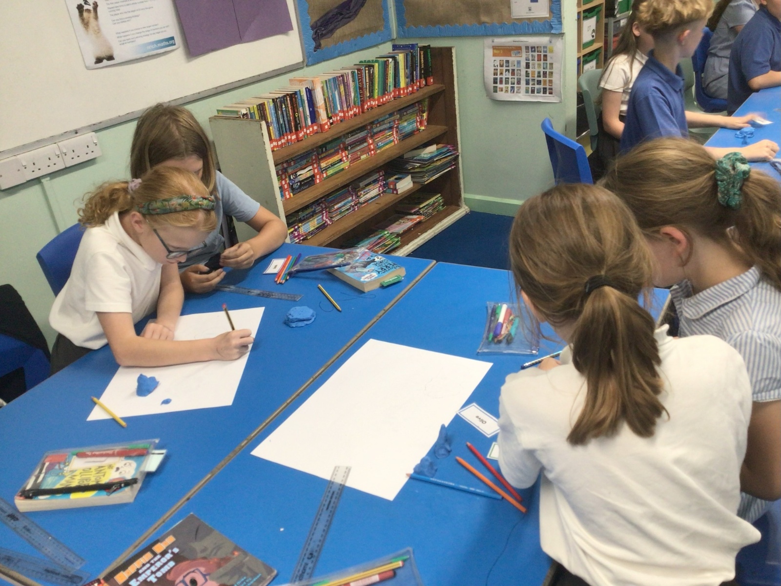
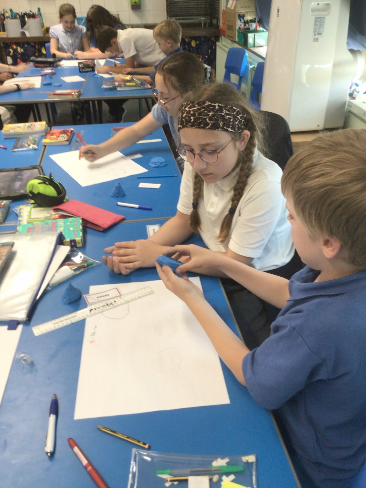
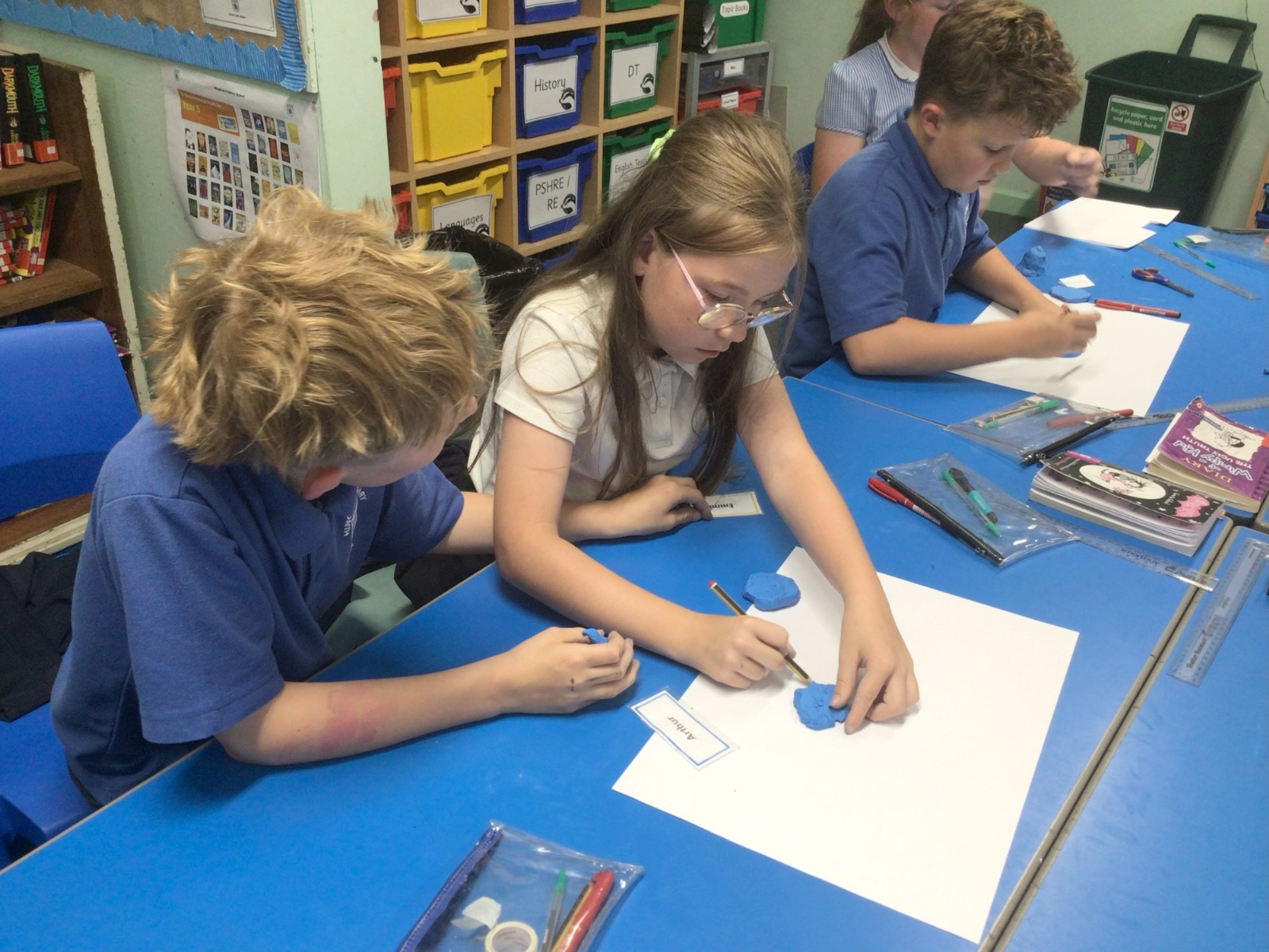
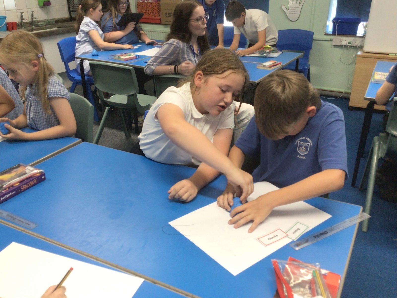
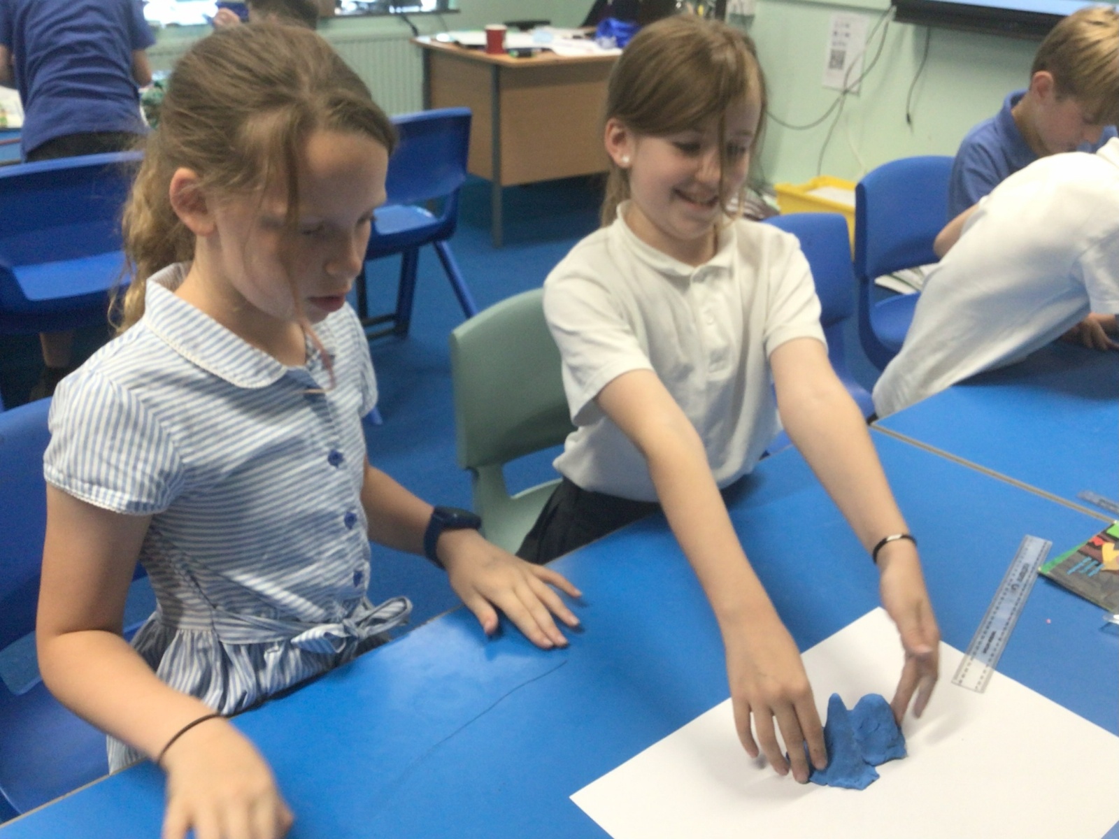
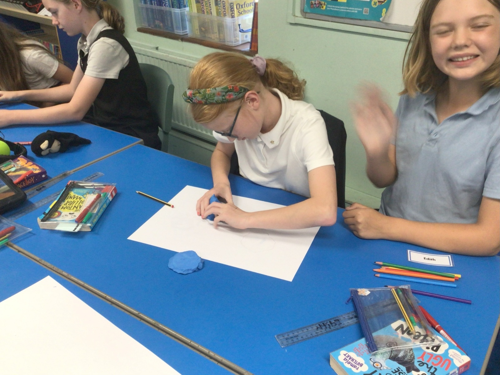
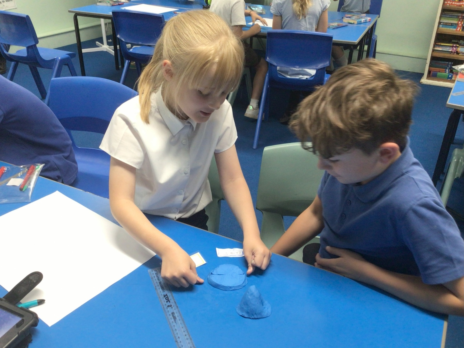
Geography: Layer Shading
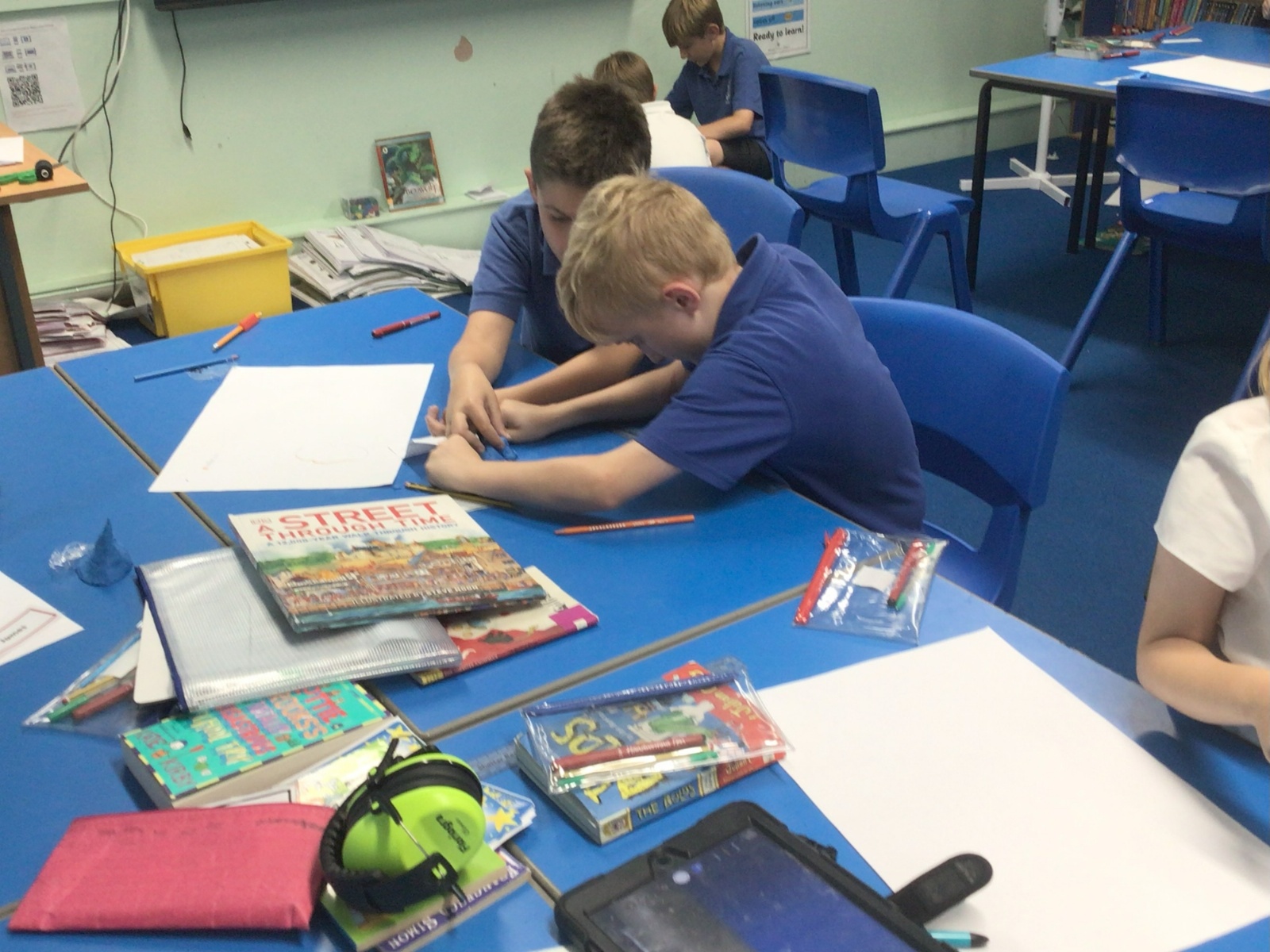
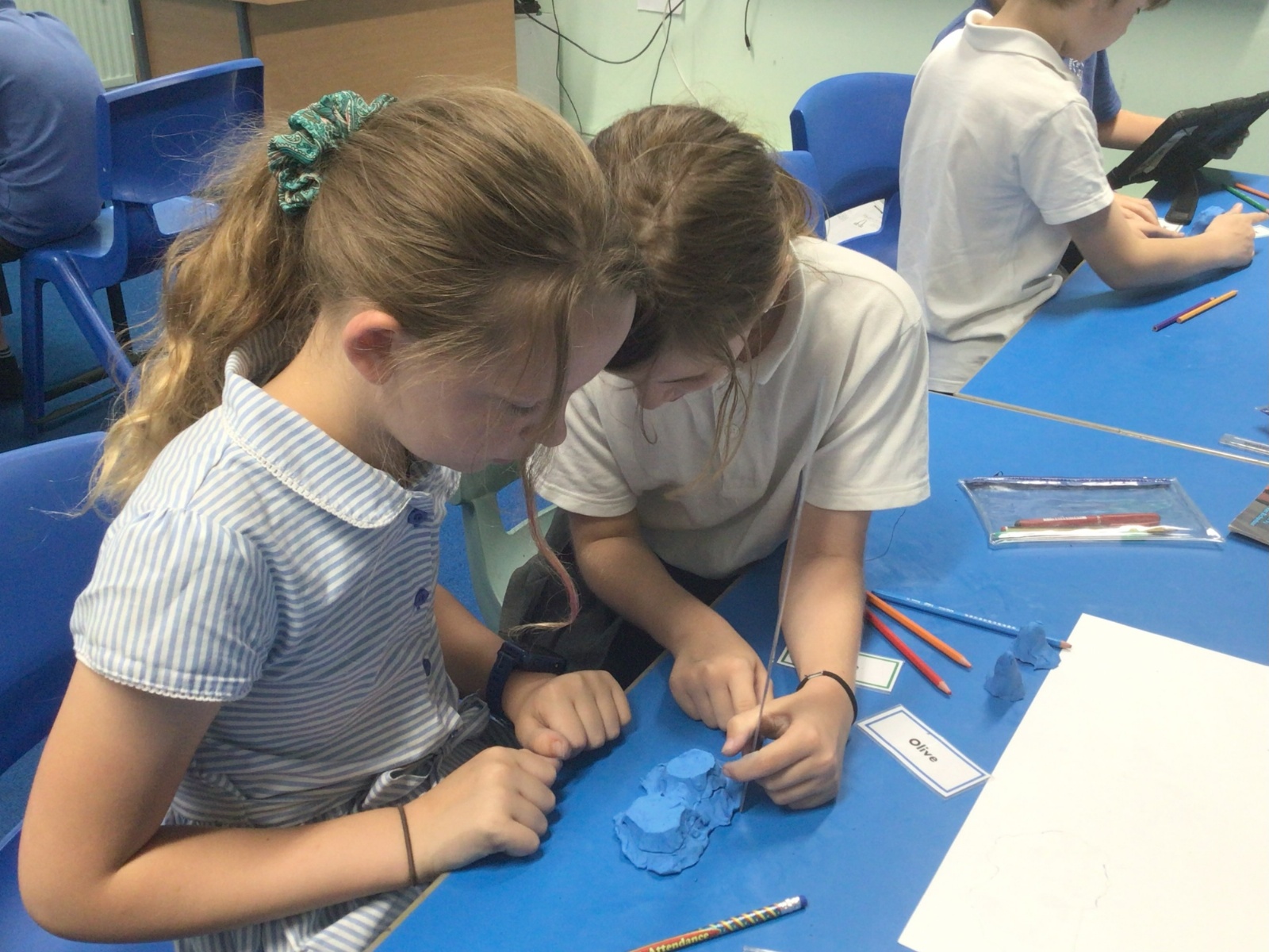
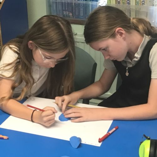
We have been investigating how to show 3D land features on maps. We talked about the height of the land and how some topographical maps use different colours to show the relief of the land. We made our own maps firstly by creating mountains out of plasticine. We cut our mountains into slices which we drew around and coloured each section to generate the layer shading and show the different heights.
 IMG2492.jpeg3825
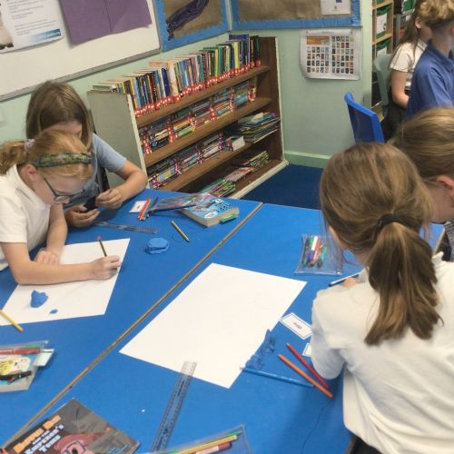 IMG2491.jpeg3824
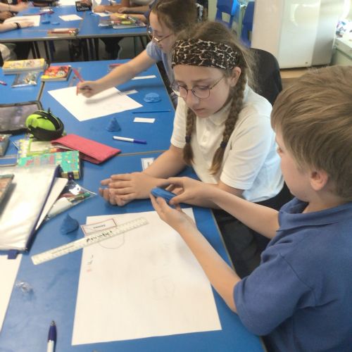 IMG2490.jpeg3823
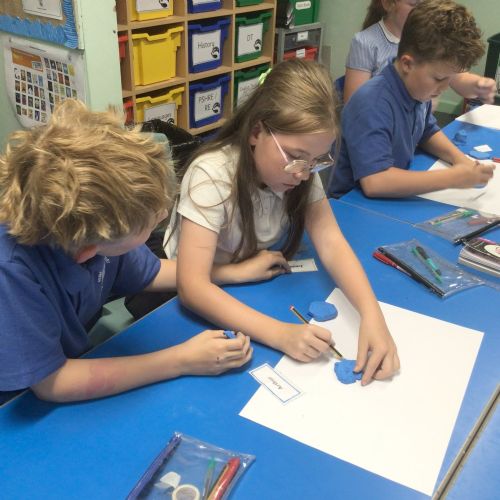 IMG2489.jpeg3822
 IMG2488.jpeg3821
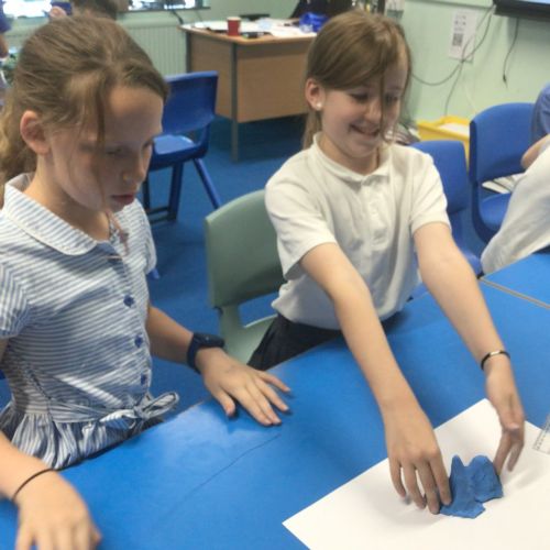 IMG2487.jpeg3820
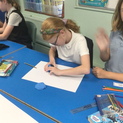 IMG2486.jpeg3819
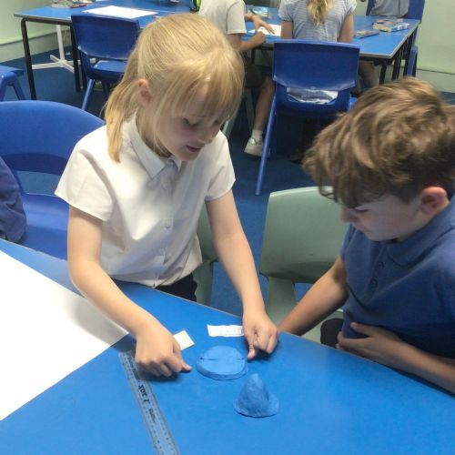 IMG2485.jpeg3818
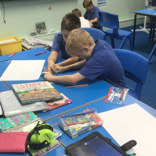 IMG2484.jpeg3817
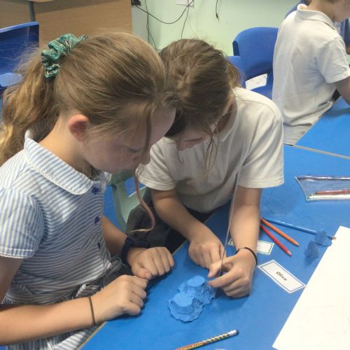 IMG2493.jpeg3826